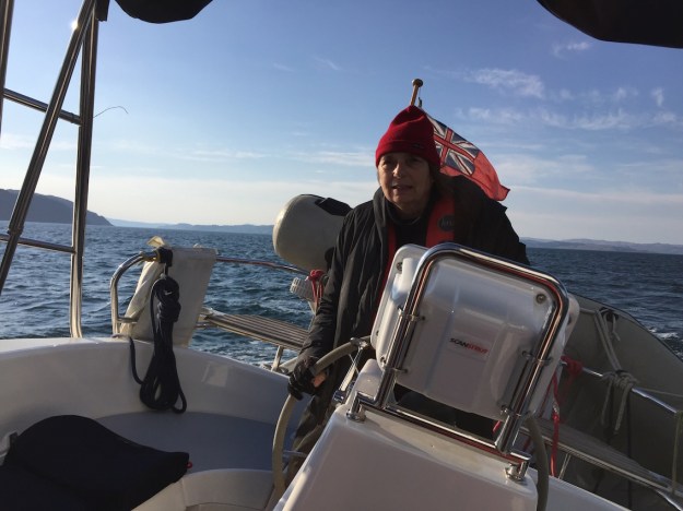
Although the winds had eased slightly by the morning it was a no-brainer to hire a car and explore by land. The winds were from the NW, which would have made it very difficult for us to sail to Harris as planned. One of our aims was to find out where Rosamund’s father, Percy Hatfield, was stationed in the war. It was very top secret at the time and even Ros’s mum did not know where he was. Here’s an excerpt from the eulogy that was read out at Percy’s funeral:
“After he finished his RAF training he was asked where he’d like to be stationed. He said, “Yorkshire” so he could be near where Joan was teaching. But he was sent to the Island of Harris in the Outer Hebrides, to a village called Islivig and put in charge of a radar station.
They planned their marriage for April 1942. Percy’s wedding bans were called in a little church in Islivig. But instead of calling them on three consecutive Sundays, they called them 3 times on one Sunday. Joan’s bans were called in Yorkshire.”
So we had a village name, Islivig, and had to be on the look out for a little church. But where exactly was the radar station – a search of secret Scottish radar installations found two in the area – and one was called Islivig radar station and there was a pointer on a map which enabled me to fix it exactly by the topology.
Information from http://www.secretscotland.org.uk

Our main problem to get there was a logistical one. Initially not knowing how far it would be, Ros had booked the first night in Port Maddy (one of the ports we might have berthed in if we had managed to venture north) in North Uist but still well short of our destination. We stayed at Hamersay House (01876 500 700) and checked in early to drop off our gear and then took a walk around the village. There was a village store, an information centre, a museum and a small marina. At the information centre we made enquiries about Islivig and found that that it was quite remote – although only 25 miles as the crow flies from the ferry terminal, Leverburgh on South Harris, it was 80 miles by road. We decided to take an early ferry on Saturday May 14th from North Uist to Harris arriving in Leverburgh at about 11am, and booked a B& B in South Harris (Found with the Sawday book given to Ros by her sister Julia). Whereas the hotel in Port Maddy was adequate the B&B in Borve, Isle of Harris was amazing, and provided Ros with the peace she needed to get over the very rough crossing from Canna to South Uist. It was run by Lena and Richard MacLennan and was called Pairc an t-Srath (01859 550386). Everything about it was wonderful, the friendliness of the owners, the magnificent sea view, the breakfast kipper and coffee, the bath and the Harris tweed upholstery of the furniture.
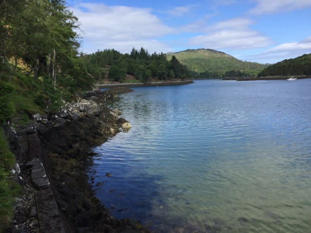
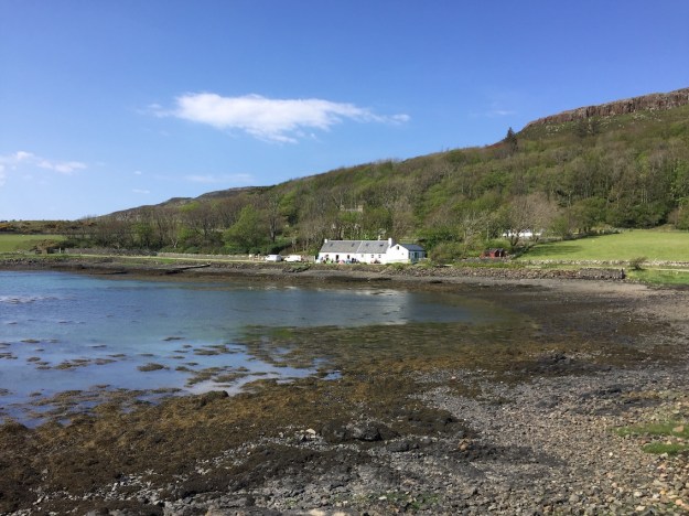
View from near our B&B in Borve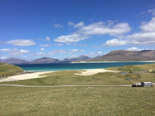
After checking in – we left at about lunchtime to make the now 70 mile journey to Islivig (the map we obtained from the information centre, however, used the Gaelic name, Islibhig). We stopped in Tarbert to visit the Harris Tweed shop and Ros bought some beautiful red and black tweed, possibly to upholster our old dining room chairs. But before any more “making” projects Ros has to finish Skye’s Fair Isle jumper that she has been knitting since last summer. Somehow she had lost one of the knitting needles and luckily was able to find what she needed at a charity shop in Tarbert.
Progress on Skye’s Fair Isle jumper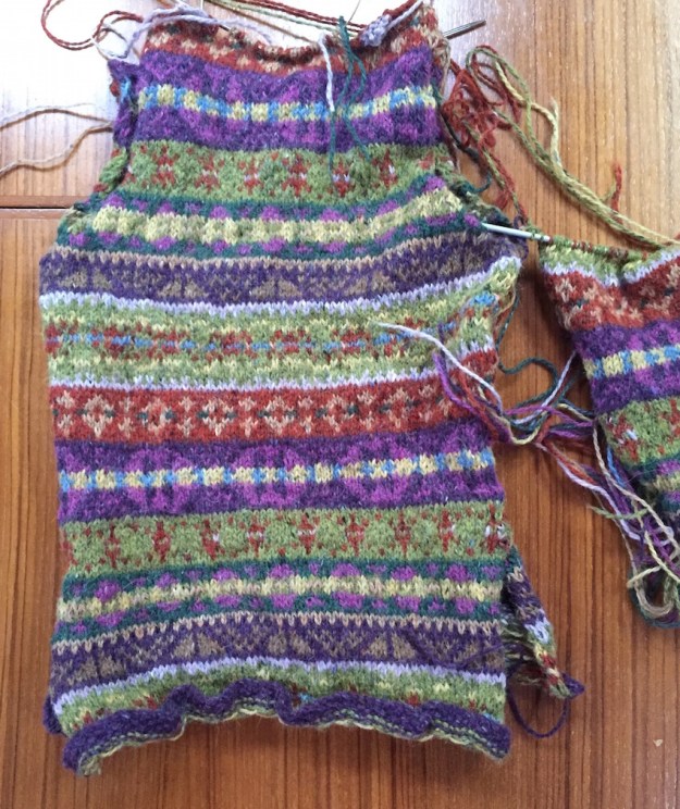
When we left Tarbert to travel North it was around lunchtime and we were now both getting rather peckish but there was nowhere to eat. On and on we drove past the most amazing scenery on single track roads with parking places which became smaller and smaller. In the middle of the afternoon, we did at last, find a café. We stopped to enquire if we could eat there later on our return, but it was fully booked and could only offer tea and cake that we readily accepted as by then we were very hungry. We enquired whether there was anywhere else – “the Auberge” said the lady, offering her phone to call them, but there was no reply. Oh well we thought, we’ll see if we can find it.
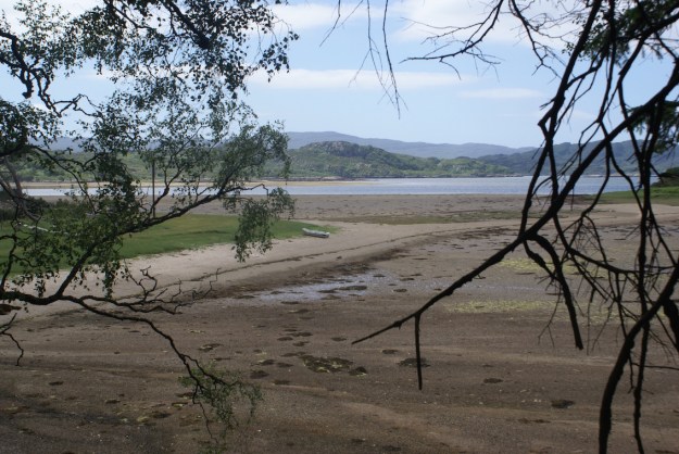
We continued on our way to Islivig, but the location of the radar station was meant to be at least two or three miles before this tiny village and sure enough we could see remnants of the buildings on the left hand side of the road as we were travelling south along the coast road towards Islivig. We parked and walked up the hill and were delighted to find the foundations of an enormous WW2 radar establishment. We photographed as much as we could so that we could draw a plan and then perhaps match this up with WW2 photographs of radar establishments when they are eventually released. We even found a bunker, which was fully operational with air vents, but it was totally flooded so we could not go in. There were so many concrete foundations that we estimated that there must have been at least 50-100 men stationed there. Earlier when I reminded Ros that her dad had been in charge of the radar station – she’d said “Oh yeah – probably a man and his dog” but this was clearly not the case.
Remnants of the Islivig radar station – the view to the hill behind, numerous foundations and Ros standing by the bunker. We even found the toilet block.


Driving into Islivig later we could not find a church and we ended up at the end of the road where there was meant to be the ruins of a Nunnery, but we could not find these either. Interestingly we could now see across to where we had started our journey two hours previously, but there was no road link across the water.
The end of the road and the view south across to Scarpa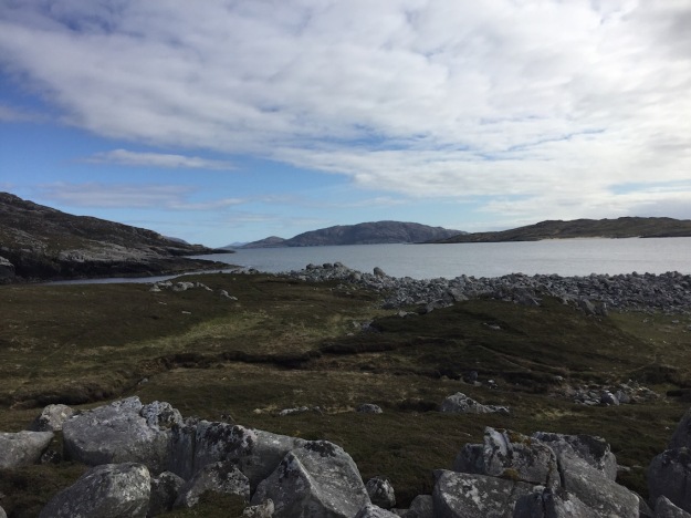
Returning, Ros thought she saw a church down a road to our left – we followed it – but it wasn’t – it was a private house, but our passing must have been the excitement of the day for two dogs that chased down the road after us. After we turned round we came across the owner of the dogs and chatting to her, she told us that there used to be a little church about a mile or so south of Islivig in Breanais the next village.
Small church just south of Islivig built on the site of the old church where Percy’s bans were read.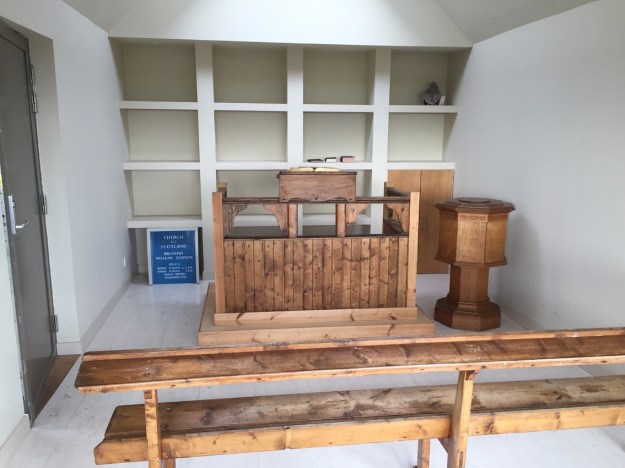
The Church of Scotland had recently put up the land for sale and it was sold under the condition that a meetinghouse of a similar size was built on the site of the original church. This we found, only a mile or so south of Islivig. We learned from the dog lady that there used to be a thriving community in Islivig during the war – a note on an historical tourist sign included the following paragraph:
“The most recent ruins seen here are the remnants of the military operations that took place from 1941 to 1946. Two or three hundred men were stationed at Mealastadh and Breanais to operate wireless and radar installations. There was a cinema, a bar and regular dances, but when the war was over they all left.”
The scenery was majestic. The mountain behind the radar station had a shape similar to the sugar loaf near Abergaveny and we wondered whether this early mountainous territory with panoramic sea views influenced Percy’s later choices of where to live – South Wales and Branscombe.
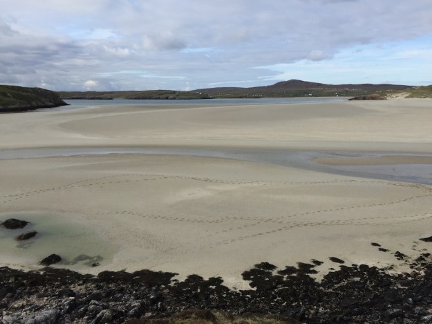
We could see across to the island of St Kilda, which we had hoped to sail to, but decided that this was a step too far for the ventures and voyages of the Sutherlands. Ros enjoyed imagining her father in 1942 looking out to this island, several years before she was born.
View across to St Kilda from the Islivig radar station site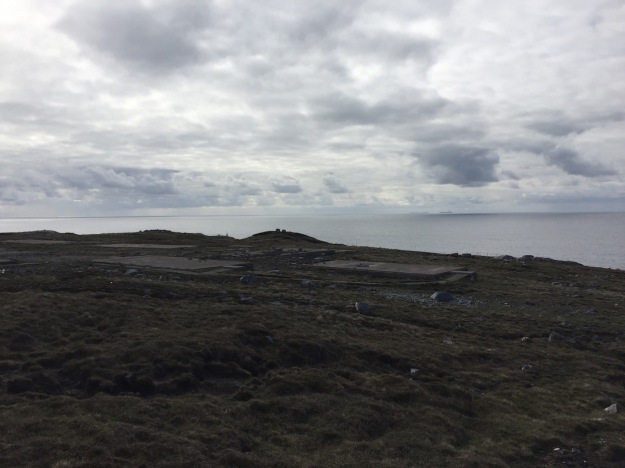
On our way back we found the Auberge Carnish – “Come in, we’re open” said a sign in the door. It was 6:30pm in the evening. The place seemed deserted, but eventually we heard activity in the kitchen and tapped on the door. A slightly disheveled and flustered French masterchef appeared – apparently he had a full restaurant that evening at 7:30. Yes he could squeeze us in at this tiny table for two, but we had to go away and return at 7pm. This we did and were not disappointed – the food was delicious, small delicate dishes full of taste and beautifully arranged. We could not believe that this restaurant existed in such an isolated location.
The view from the Auberge restaurant
Later on the road to Stornaway, we visited the Calanais standing stones which rounded off an extraordinary day.
Standing stones in Calanais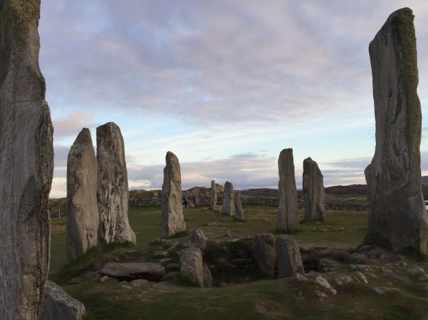


 When we flew over 2 years earlier with Hugh & Percy!
 Starters at the Cornerstone Restaurant in Mallaig
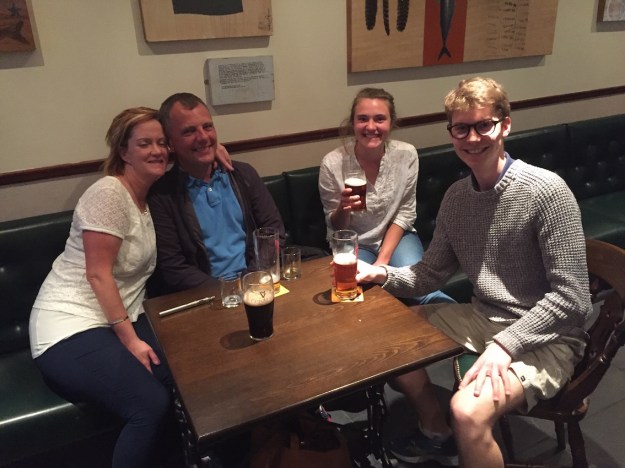 Joanna, Alan, Sophie and Dougle in the Marine Hotel having a natter after the football
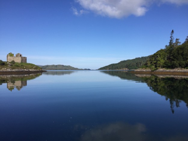
 Approach Eigg with Rhum in the background
 Anchored south of Eigg harbour
 Sheep sunbathing on the beach
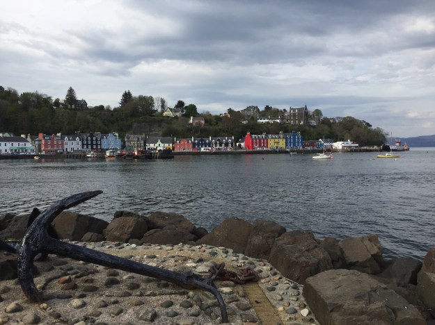
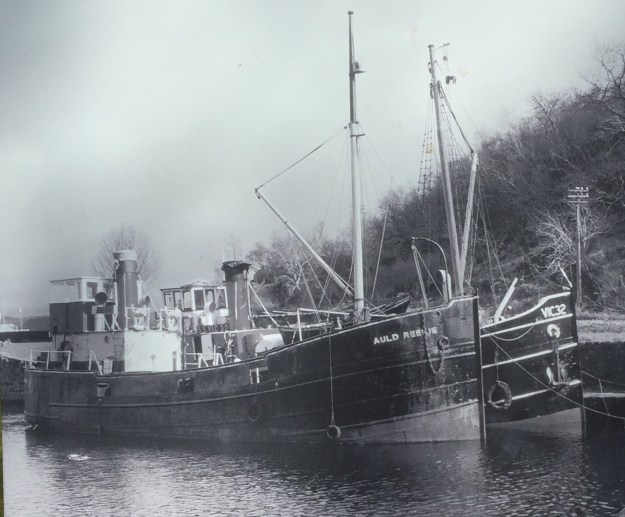
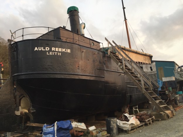
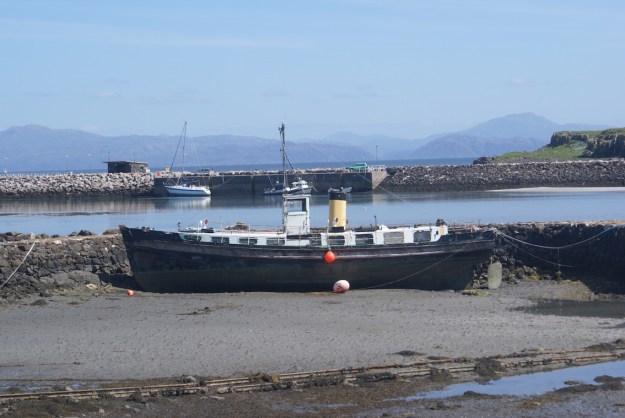 A Puffer being restored in the harbour.
  Leaving Eigg with Muck in the background and the sky signalling the impending change of weather
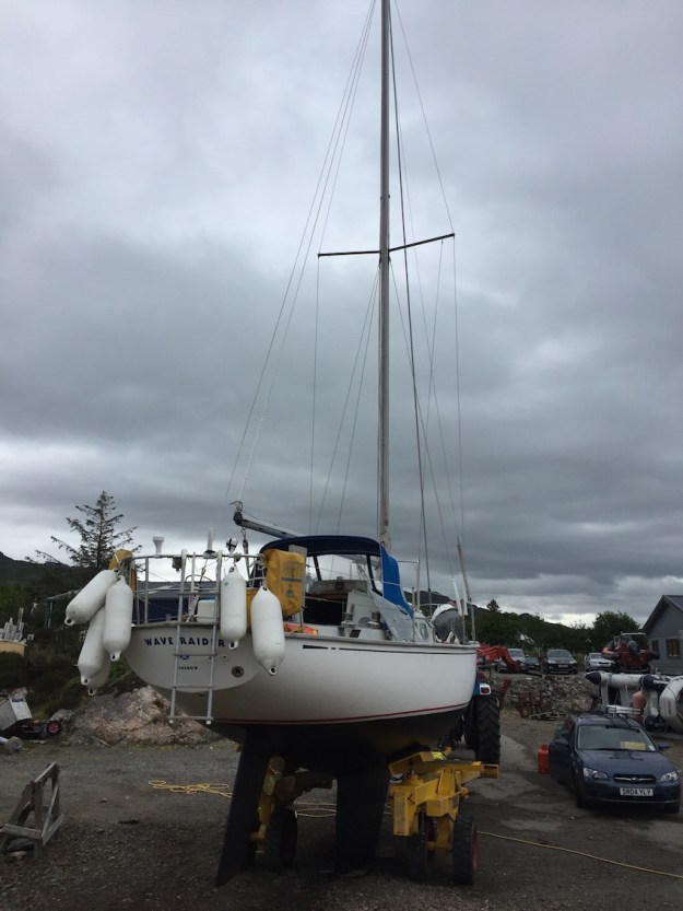 John Howard’s boat, Wave Raider, 2 years being renovated ready to go in the water the next day


 But we did not walk all the way to Craqbh as we’d booked dinner at The Galley Lorne in Ardfern, a restaurant with a beautiful view down Loch Craignish. We both ordered battered fish and chips and when the owner asked Ros how the meal was – she chickened out from saying “terrible” – both the fish and chips were undercooked and soggy – a disappointment. I went to the local shop early the next morning to buy some venison sausages for the next night’s meal in Loch Spelve.


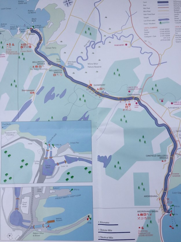
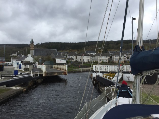
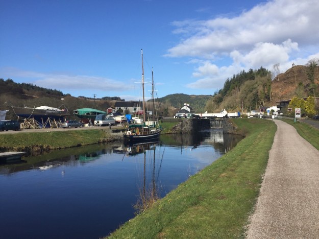
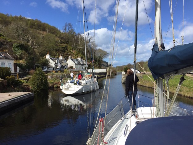
 The engineering of the locks was fascinating. There were 15 in all and 7 bridges – the majority were swing bridges but one was a cantilever bridge. They were all kept in fantastic condition by the lock staff filling their time between boats by re-painting the locks and surrounding fencing in the characteristic black and white colours.